
Philippine Geography
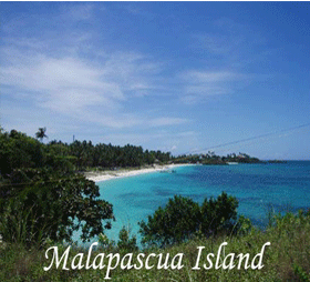
The Philippines constitutes an archipelago of 7,107 islands with a total land area of approximately 300,000 square kilometers (116,000 sq mi). It generally lies between 116° 40' and 126° 34' E. longitude, and 4° 40' and 21° 10' N. latitude, and borders the Philippine Sea on the east, the South China Sea on the west, and the Celebes Sea on the south. The island of Borneo lies a few hundred kilometers southwest and Taiwan directly north. The Moluccas and Sulawesi are to the south, and Palau is to the east beyond the Philippine Sea.[1]The islands are commonly divided into three island groups: Luzon (Regions I to V, NCR and CAR), Visayas (VI to VIII), and Mindanao (IX to XIII and ARMM). The busy port of Manila, on Luzon, is the national capital and second largest city after its suburb Quezon City. [1]
The local climate is hot, humid, and tropical. The average yearly temperature is around 26.5 °C (79.7 °F). There are three recognized seasons: Tag-init or Tag-araw (the hot season or summer from March to May), Tag-ulan (the rainy season from June to November), and Taglamig (the cold season from December to February). The southwest monsoon (May-October) is known as the "habagat" and the dry winds of the northeast monsoon (November-April) as the "amihan".[20] Manila Bay
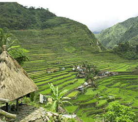
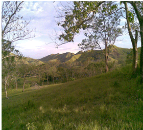
Most of the mountainous islands used to be covered in tropical rainforest and are volcanic in origin. The highest point is Mount Apo on Mindanao at 2,954 metres (9,692 ft). There are many active volcanos such as Mayon Volcano, Mount Pinatubo, and Taal Volcano. The country also lies within the typhoon belt of the Western Pacific and about 19 typhoons strike per year.[21] Lying on the northwestern fringes of the Pacific Ring of Fire, the Philippines experiences frequent seismic and volcanic activities. Some 20 earthquakes are registered daily in the Philippines, though most are too weak to be felt. The last great earthquake was the 1990 Luzon earthquake.[22]
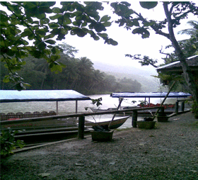
The longest river is the Cagayan River in northern Luzon. Manila Bay is connected to Laguna de Bay by means of the Pasig River. Subic Bay, the Davao Gulf and the Moro Gulf are some of the important bays. Transversing the San Juanico Strait is the San Juanico Bridge, that connects the islands of Samar and Leyte.[23]